© Ahmad et al. 2026
New publication: Continental-scale mapping of forest tree density in North America using remote sensing and deep learning with uncertainty quantification
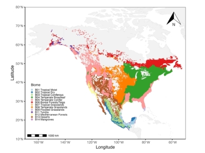
Alain Paquette and PaqLab alum Eric Searle are part of the team who published a study which uses deep learning and over 600,000 forest plots to produce the most accurate high-resolution map of tree density across North America. Results suggest there are fewer large trees than previously estimated, while highlighting major regional differences and improving tools for carbon and biodiversity monitoring.
Consult the full article using the link below.
Lire Plus